")


i89 VISUAL IMU-RTK GNSS
The i89 is a Compact, HighPerformance receiver That integrates The Latest GNSS, Auto-IMU, RTK, and Dual Camera technologies in a 750g Design For Intensive Daily Use
Garmin 79S
stay on track And go on more adventures with this dura-ble, floating portable GPS.
- Surveying and Mapping with Enhanced Graphical Tools
- Customizable GIS Attributes
- Super Packed Road Function
- Easy Pipeline Survey
- CHC Cloud Service
- Various base maps display: Supports OSM, BING and WMS online maps. Supports DXF, SHP, TIF, SIT, KML and KMZ offline maps.
- Extensive import and export data formats: Support DXF, SHP, KML, KMZ, CSV, DAT, TXT and CGO as import formats. Support DXF, SHP, KML, KMZ, RAW, HTML, CSV, DAT, TXT as export formats. Support customize the import and export contents while choosing CSV, DAT, TXT formats.
CHC APACHE 3 PRO
The APACHE3 is a portable shallow-draft hull with a single-beam echo sounder for bathymetric surveys of lakes, inland rivers, and coastal areas. The master control unit provides seamless 4G communication, removing the limitations of traditional network bridge base stations and transmission distances, and making hydrographic survey easier.


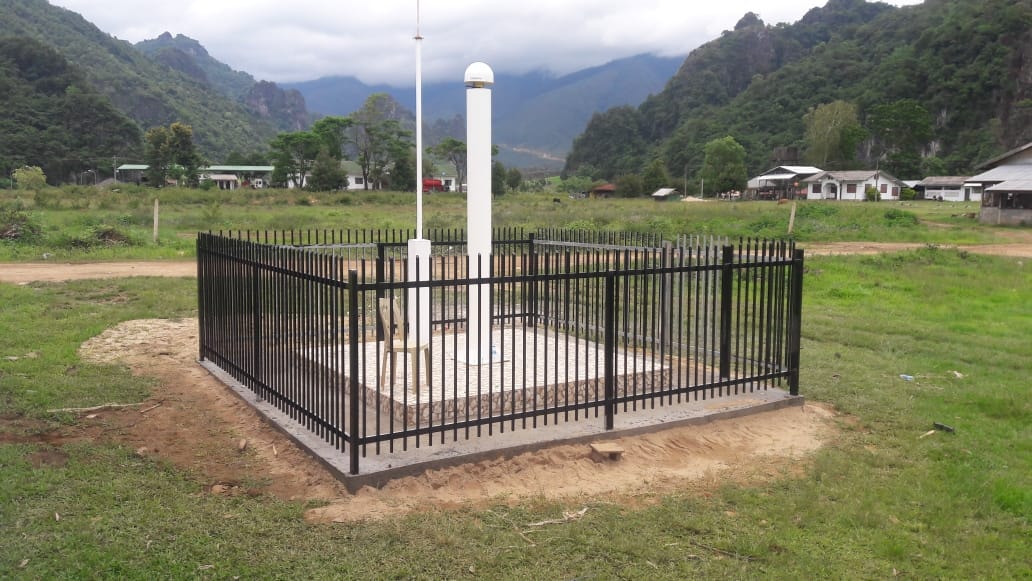
CORS
Continuously Operating Reference Station
A Continuously Operating Reference Station (CORS) network is a network of RTK base stations that broadcast corrections, usually over an Internet connection. Accuracy is increased in a CORS network, because more than one station helps ensure correct positioning and guards against a false initialization of a single base station.


Our Customers


Our Partners


